
Skip to content
Rota Insider
Contact

Jericoacoara

Bitupitá

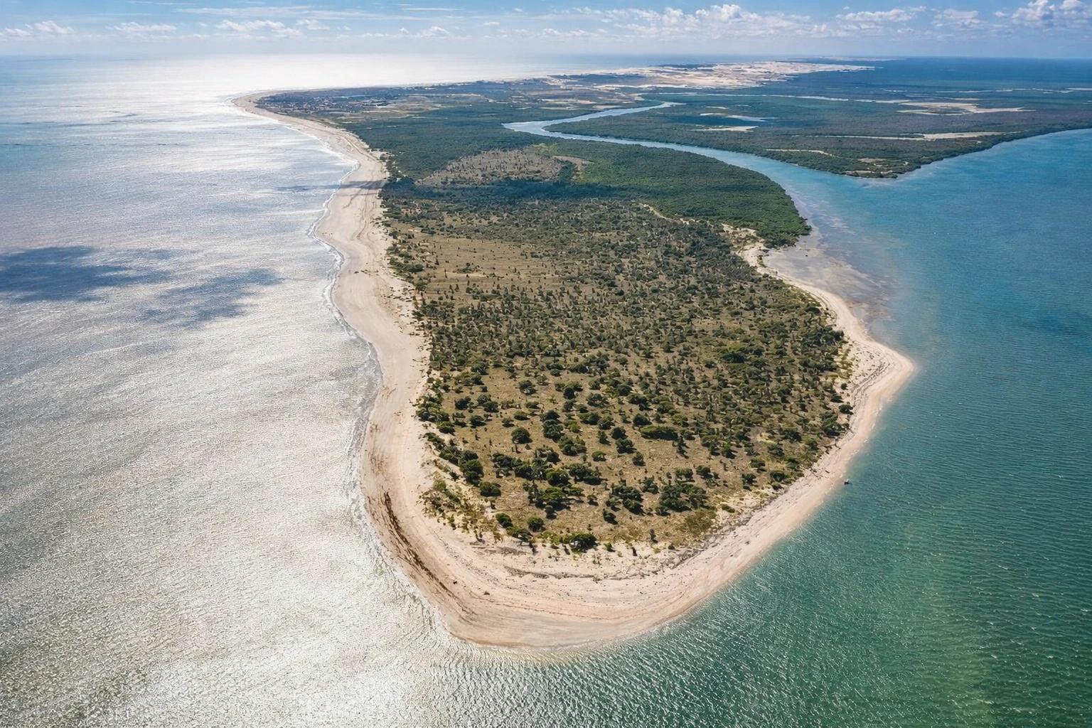
Last coastal village in Ceará before the Piauí border. State's largest mangrove and fishing colony, with 5 rivers converging at Pontal das Almas (Point of Souls). Emerging community tourism in Vila de Curimãs.

Bitupitá
Jericoacoara
ATMNot available
Cell signalWeak
WiFiHotels & commercial venues
Practical intel

The village, up close

Places to discover in Bitupitá

The places worth stopping for.

5 places

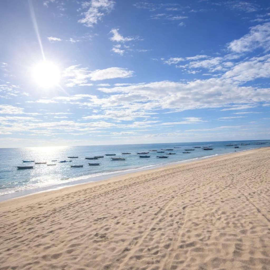
Praia de Bitupitá

Beaches

Praia de Bitupitá

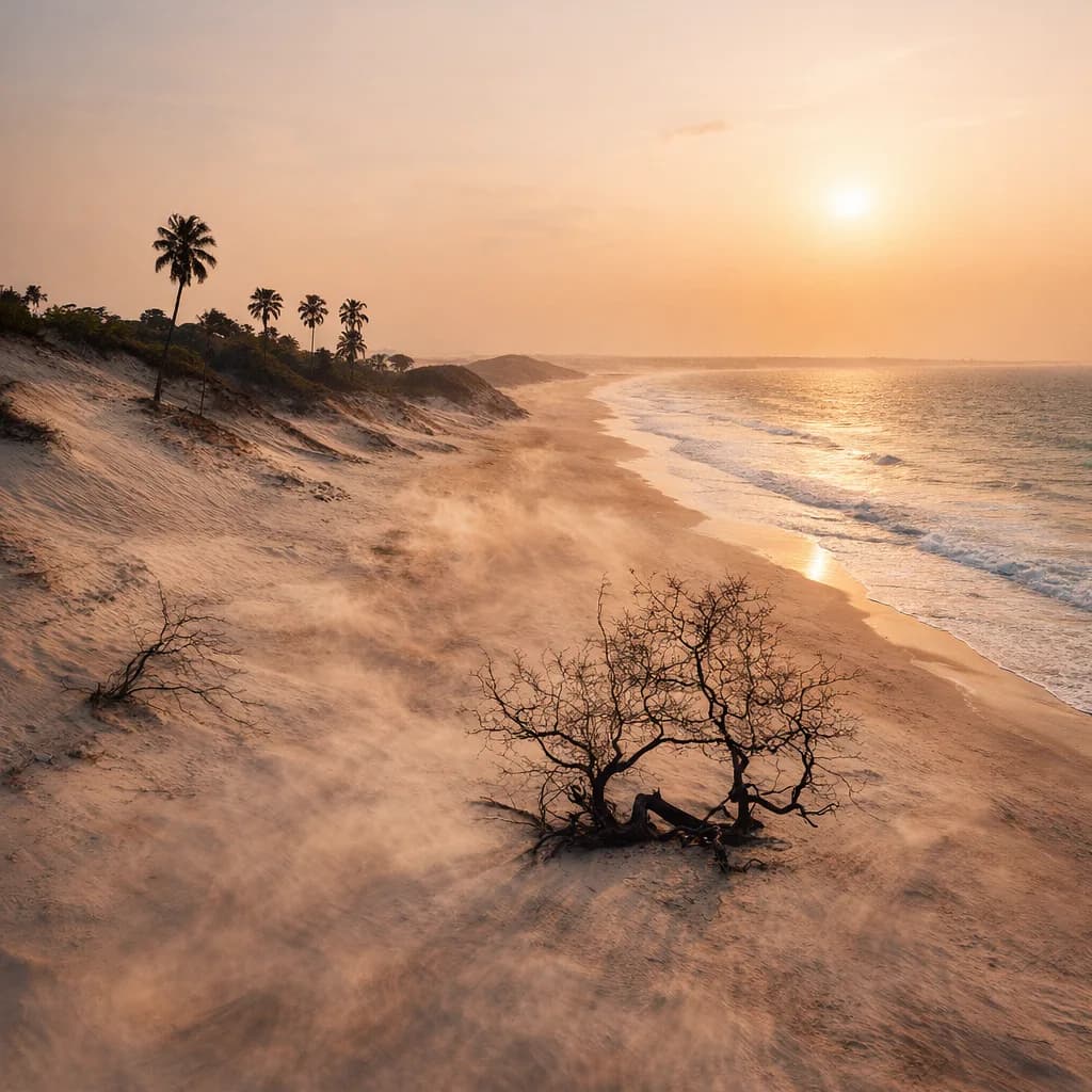
Main beach with wide sand strip, strong waves and white dunes. Name comes from Tupi-Guarani: 'wind gusts on moving dunes'. Home to Ceará's largest fishing colony.

More about this place

Last frontier of Ceará's coast before Piauí. Authentic fishing village with 10,000 people and Ceará's largest mangrove.

Insider tip: Bitupitá's Carnival draws visitors from across Ceará. Best time: Aug-Dec (strong sun, little rain).

Wind Gusts on Moving Dunes · Time to allow: 120 min
Praia das Curimãs

Beaches

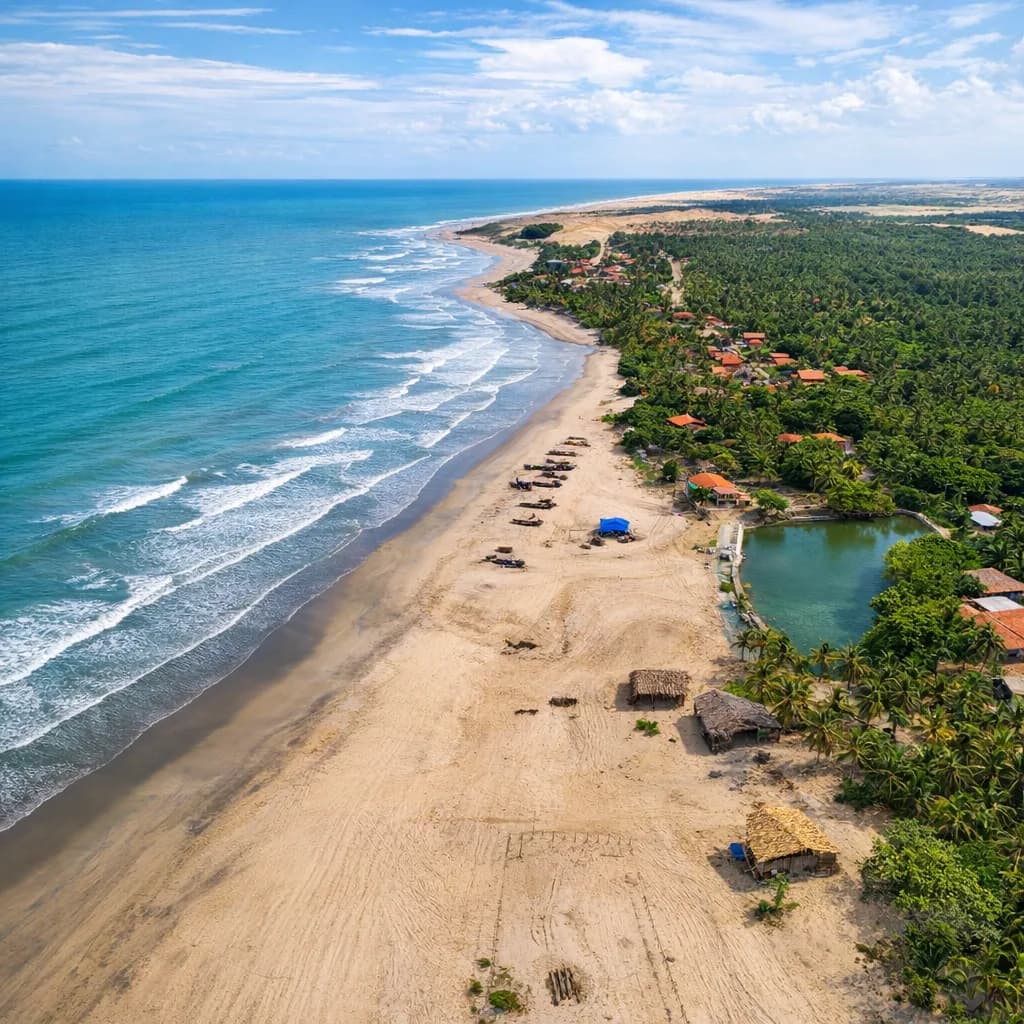
Praia das Curimãs

One of the most beautiful beaches in western Ceará. Artisanal fishing village with emerging community tourism. Clear warm waters with authentic atmosphere.

More about this place

Insider tip: 34 km from Barroquinha center. Restaurante Brilho do Mar is the only one in the village — recently opened. Bring supplies.

Community Tourism Village · Time to allow: 120 min

Pontal das Almas

Nature

Pontal das Almas

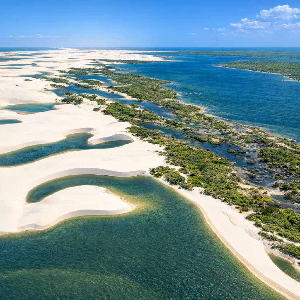
Last beach on Ceará's coast before Piauí. Confluence of 5 rivers forming Ceará's largest mangrove. Practically an island after waterway flooding.

More about this place

Five rivers meet here creating Ceará's largest mangrove. It's almost an island — wild and mystical landscape with local folklore legends.

Insider tip: Difficult access — recommended with local guide or organized tour. The area flooded changing the geography — confirm access before going.

Last Beach of Ceará · Time to allow: 120 min

Barra dos Remédios

Beaches

Barra dos Remédios

14 km from Barroquinha center. Where the Rio dos Remédios meets the Atlantic. Mobile dunes, pristine beach. Trails, buggy, kite and windsurf. Zero restaurants on the beach.

More about this place

Pure ecotourism — one of Ceará's most untouched beaches. The river-sea meeting between mobile dunes is cinematic.

Insider tip: No restaurants or kiosks on the beach — bring food and water. Access via 14 km road from Barroquinha center.

Pristine River-Meets-Sea · Time to allow: 120 min

Cabana Pueirão

Dining

Cabana Pueirão

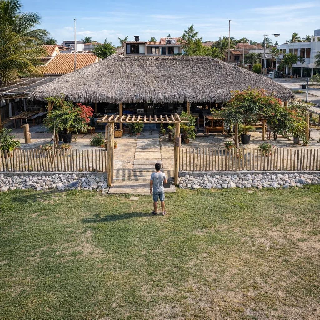
Restaurant in Bitupitá with sea views and fresh seafood. Garlic shrimp and lobster at accessible prices. Praised by visitors on TripAdvisor.

More about this place

Insider tip: Instagram: @cabana_pueirao. Order the garlic shrimp and lobster. Arrive early as stock depends on the day's catch.

Seafood with a View · Time to allow: 90 min

Want the beaches, the tours and where to stay too?

Read the full guide for Bitupitá

Before you go

Plan your arrival

The transport guides break down every route.

How to get here

Airport
Jericoacoara (JJD)
Time from the airport
~2h15–2h30 by car via Camocim
Access
Mixed
Camocim ➝ Bitupitá/Barroquinha68 km
🚘 Camocim ➝ Bitupitá/Barroquinha (BR-402 + CE-187) · 1h
Parnaíba ➝ Bitupitá/Barroquinha90 km
🚘 Parnaíba (PI) ➝ Bitupitá/Barroquinha (CE) · 1h 20min
Fortaleza ➝ Bitupitá/Barroquinha418 km
🚘 Fortaleza ➝ Bitupitá/Barroquinha (Long Haul) · 5h 30min

What to know before you go

Practical intel

Come prepared for total simplicity — no luxury, no reliable Wi-Fi, no fancy restaurants. That is the charm. Fishermen from Vila de Curimãs offer canoe tours through the mangrove at dawn. Bring a mosquito net and strong repellent.

About Bitupitá

Bitupitá is Ceará's last coastal frontier before Piauí — where 5 rivers converge at Pontal das Almas, creating the state's largest mangrove and fishing colony. Emerging community tourism in Vila de Curimãs offers immersion in authentic fishing culture.

When to go

Month-by-month calendar
  • Jul-Dec: Artisanal fishing at river mouths — canoe tours through the mangrove
  • Sep-Nov: Bird migration at Pontal das Almas — scarlet ibis watching

Regional calendar for the Jericoacoara. Bitupitá doesn't have its own seasonal calendar yet.

Best: Jul–Nov
32°C782mmWind: Sep, Oct, Nov

Rain: monthly normals from FUNCEME (Ceará's state weather service) for Jijoca de Jericoacoara (CE) — an indicative reference.

Today's edition

Tide, wind and moon in Bitupitá

Today: low tide of 0.5 m at 08:50 and high tide of 3.0 m at 14:50; another low at 21:20, after sunset · Waxing Gibbous, 93% illumination.

See tide and wind for the whole corridor

SUNDAY · Today

November 22

All times are local (UTC−3, same as Brasília)

The days ahead in Bitupitá

Tap a day · peak wind, gusts, low tide and moon

Wind forecasts get less reliable further ahead: check again closer to the day.

Tide Bitupitá, The shape of the water

Forecast

The day's range

2.7 m

Difference between high and low

Next low

08:500.5 m

Tide height · mExplore the curve
High 2.7 m 02:35, Low 0.5 m 08:50, High 3.0 m 14:50, Low 0.2 m 21:20☼ 05:2317:39 ☾0.01.02.03.000:0006:0012:0018:0024:00mean level
The whole curve is a forecastUTC−3

Calibrated at Camocim, 49 km away. In 2026, 9 in 10 of the curve's highs and lows are within 22 min of the Navy tide table for Luís Correia (42 km). Lagoons, river mouths and bays may not follow the open-sea curve.

Strong tidesThe day's range 2.7 m

With strong tides, high tide covers more of the beach and low tide uncovers more. Currents get stronger: take care at river mouths and during crossings.

Tide tip · BITUPITÁ

Bitupitá lies on the border with Piauí. River crossings depend on the tide, and at low tide you can reach remote beaches.

How we calculate the tide

Heights in meters above the model's reference level. “Mean level” is the average of this day's extreme heights; it does not indicate depth.

We calculate the tide with the FES2022 model, calibrated for each place to a reference station from the FEMAR catalog. Where we can, we compare the curve with the Brazilian Navy's tide tables. On rivers and inland, the curve shows the coastal tide, not the water level there.

Strong, moderate or weak: the word compares the day's range with this place's usual range, not with other places.

Wind Bitupitá, The wind observatory

Wind through the day

Windiest around midday: up to 28 km/h, gusts up to 58 km/h.

About this animation

Motion starts on its own when the visualization is in view.

SpeedThe flow speeds up with the wind speed at the selected hour. At zero wind it stops.

DirectionThe dot on the compass marks where the wind comes from. The lines move downwind.

GustsThe ring shows the difference between wind speed and gust speed. Without valid gust data it disappears.

An illustration only: it doesn't simulate how often gusts arrive.

Moon Bitupitá, The night sky

NOV 22

The moon sets at 03:12 and rises at 15:46 · no moon in the sky from 04:05 to 04:09

Waxing Gibbous

93%illuminated

Schematic phase · illustrative texture

Moonrise15:46
Moonset03:12
Sunrise05:23
Sunset17:39

Night sky

Night of Nov 22–23

Moon in the sky, from 18:52 on Nov 22 to 04:05 on Nov 23.

No moon in the sky, from 04:05 on Nov 23 to 04:09 on Nov 23.

Astronomical night is when the center of the sun is at least 18° below the horizon.
Times are approximate and don't account for clouds.

See the night timeline

Night timeline for Nov 22 to Nov 23, Brasília time. Moon in the sky, from 18:52 on Nov 22 to 04:05 on Nov 23. No moon in the sky, from 04:05 on Nov 23 to 04:09 on Nov 23.

The journey continues

Jericoacoara

More villages and guides from the same ecosystem.

All villages in the region

You are viewing Bitupitá, part of the Jericoacoara ecosystem. Navigate to nearby villages.

Read the full guide for Bitupitá

Insider tips, restaurants and accommodation