
Skip to content
Rota Insider
Contact

Jericoacoara

Tatajuba

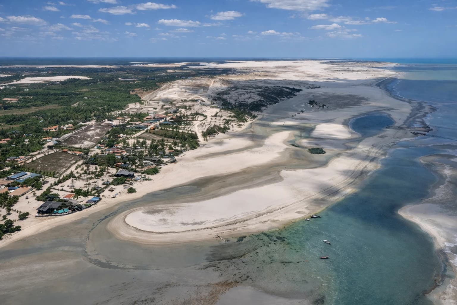
Extreme adventure. Duna do Funil (Funnel Dune) and Lagoa Grande (Great Lagoon). Intense winds.

Tatajuba
Jericoacoara
ATMNot available
Cell signalWeak
WiFiHotels & commercial venues
Practical intel

The village, up close

Places to discover in Tatajuba

The places worth stopping for.

3 places

Duna do Funil

Adventure

Duna do Funil

One of the tallest dunes on the Ceará coast. Panoramic view with green oases among white sand.

More about this place

Very tall dune provides sandboarding with adventure and adrenaline. Sandboards available on site.

Insider tip: Included in West Side tour (~R$450-600 buggy). Climb slowly - it's tall! Sandboards available.

Sandboarding · Time to allow: 90 min
Lagoa Grande (Tatajuba)

Beaches

Lagoa Grande (Tatajuba)

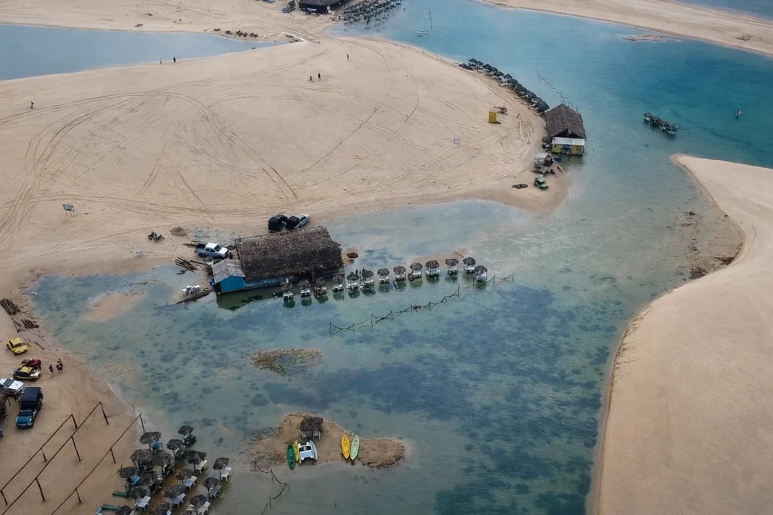
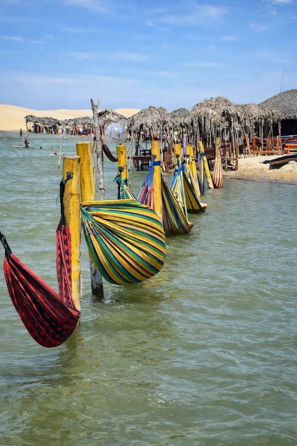
Warm water lagoon with restaurants around it. Hammocks in the water, zip line, slide, kayak, and SUP.

More about this place

Grand finale of the west tour. ~2h to relax in hammocks inside the lake. The coolest attraction on the tour!

Insider tip: ~1h by buggy from Jeri. Lunch at kiosks around. Kayak and SUP for rent. Bring swimwear!

Grand Finale · Time to allow: 180 min

Vila Nova Tatajuba

Culture

Vila Nova Tatajuba

Village rebuilt after the original was buried by dunes in the 80s. Community tourism.

More about this place

Fascinating story of resilience. Residents rebuilt the village after natural disaster.

Insider tip: Quick stop on the west tour. Local crafts available. Ferry crossing over the river.

Living History · Time to allow: 30 min

Want the beaches, the tours and where to stay too?

Read the full guide for Tatajuba

Before you go

Plan your arrival

The transport guides break down every route.

How to get here

Airport
Jericoacoara (JJD)
Time from the airport
~65 km by 4x4 (~1h20–1h30)
Access
Sand track
Guriú ➝ Tatajuba18 km
⛴️ Ferry Crossing over the Rio Guriú · 5 min 🌊🚘 Dunes Guriú ➝ Tatajuba · 25 min

What to know before you go

Practical intel

From JJD Airport, Tatajuba is ~65 km by 4x4 via the Parazinho road (~1h20–1h30, regardless of the tide). Over the sand, you arrive from Jeri, via the Rio Guriú ferry, or from Camocim (~25 km), via the Rio Coreaú ferry; kiters also arrive on the classic downwinder from Jeri (~25–30 km). There are no services in the village beyond the pousadas; bring cash and everything you need from Jeri or Camocim.

About Tatajuba

Tatajuba has the strongest and most consistent wind in Brazil — 99% probability, with 30+ knots as the standard in peak season. The river mouth creates flat water for freestyle at high tide; when overpowered, Lagoa da Torta (16 km long, freshwater mirror) is the perfect backup plan. A village that was a lunch stop on Jeri downwinds is transforming into a destination in its own right.

When to go

Month-by-month calendar
  • Sep-Nov: Maximum wind (30+ knots, 5–7m² kites) — host of the BAKL Big Air Kite Fest
  • Jun-Aug: Extended season start — 2 extra months of wind compared to Fortaleza corridor spots

Regional calendar for the Jericoacoara. Tatajuba doesn't have its own seasonal calendar yet.

Best: Jul–Nov
32°C782mmWind: Sep, Oct, Nov

Rain: monthly normals from FUNCEME (Ceará's state weather service) for Jijoca de Jericoacoara (CE) — an indicative reference.

Today's edition

Tide, wind and moon in Tatajuba

A kite village — the wind rules. Today: low tide of 0.8 m at 12:15 and high tide of 2.4 m at 06:20; another low at 00:10, before sunrise · Waxing Crescent, 6% illumination.

See tide and wind for the whole corridor

THURSDAY · Today

November 12

All times are local (UTC−3, same as Brasília)

The days ahead in Tatajuba

Tap a day · peak wind, gusts, low tide and moon

Wind forecasts get less reliable further ahead: check again closer to the day.

Tide Tatajuba, The shape of the water

Forecast

The day's range

2.2 m

Difference between high and low

Next high

06:202.4 m

Tide height · mExplore the curve
Low 0.5 m 00:10, High 2.4 m 06:20, Low 0.8 m 12:15, High 2.6 m 18:20☼ 05:2017:34 ☾0.01.02.03.000:0006:0012:0018:0024:00mean level
The whole curve is a forecastUTC−3

Calibrated at Camocim, 17 km away. In 2026, 9 in 10 of the curve's highs and lows are within 17 min of an estimate interpolated between the Navy tide tables for Pecém and Luís Correia. Lagoons, river mouths and bays may not follow the open-sea curve.

Moderate tidesThe day's range 2.2 m

Safety note

The buggy route along the beach is dangerous when the tide is not low.

Tide tip · TATAJUBA

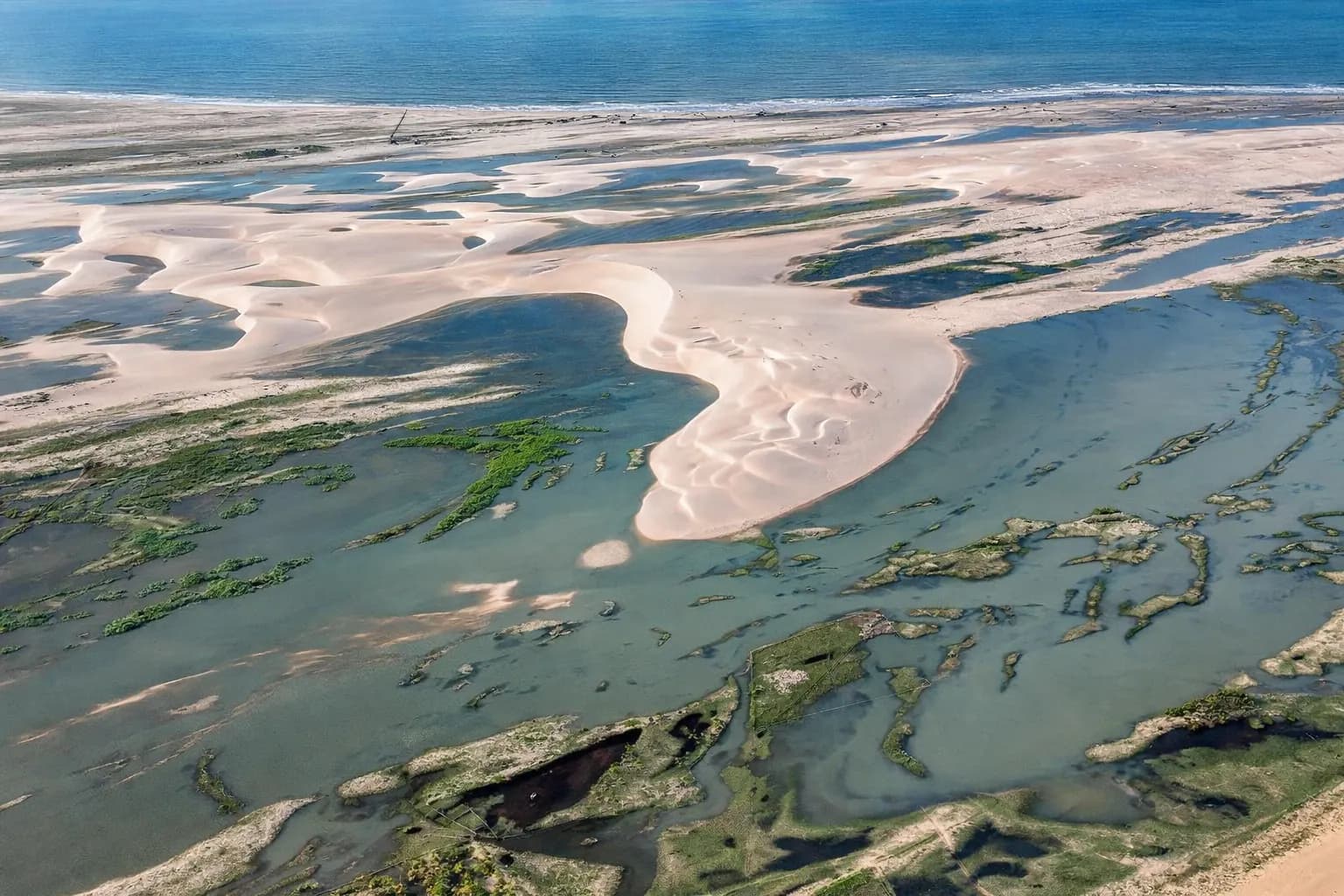
In front of the kite schools, the river-mouth lagoon forms from mid to high tide. Lagoa Grande and Lagoa da Torta are freshwater and don't depend on the tide; the beach route to Jeri does.

Tide-dependent: Crossing Tatajuba ➝ Camocim (Ferry + Road) →

Tide-dependent: Beach Buggy/4x4 Tatajuba ➝ Jericoacoara →

How we calculate the tide

Heights in meters above the model's reference level. “Mean level” is the average of this day's extreme heights; it does not indicate depth.

We calculate the tide with the FES2022 model, calibrated for each place to a reference station from the FEMAR catalog. Where we can, we compare the curve with the Brazilian Navy's tide tables. On rivers and inland, the curve shows the coastal tide, not the water level there.

Strong, moderate or weak: the word compares the day's range with this place's usual range, not with other places.

Wind Tatajuba, The wind observatory

Kitesurf spot · the wind rules

No window found today — wind averages ~11 kn across all hours shown.

About this animation

Motion starts on its own when the visualization is in view.

SpeedThe flow speeds up with the wind speed at the selected hour. At zero wind it stops.

DirectionThe dot on the compass marks where the wind comes from. The lines move downwind.

GustsThe ring shows the difference between wind speed and gust speed. Without valid gust data it disappears.

An illustration only: it doesn't simulate how often gusts arrive.

Moon Tatajuba, The night sky

NOV 12

The moon rises at 07:49 and sets at 20:26 · no moon in the sky from 20:26 to 04:07

Waxing Crescent

6%illuminated

Schematic phase · illustrative texture

Moonrise07:49
Moonset20:26
Sunrise05:20
Sunset17:34

Night sky

Night of Nov 12–13

Moon in the sky, from 18:46 on Nov 12 to 20:26 on Nov 12.

No moon in the sky, from 20:26 on Nov 12 to 04:07 on Nov 13.

Astronomical night is when the center of the sun is at least 18° below the horizon.
Times are approximate and don't account for clouds.

See the night timeline

Night timeline for Nov 12 to Nov 13, Brasília time. Moon in the sky, from 18:46 on Nov 12 to 20:26 on Nov 12. No moon in the sky, from 20:26 on Nov 12 to 04:07 on Nov 13.

The journey continues

Jericoacoara

More villages and guides from the same ecosystem.

All villages in the region

You are viewing Tatajuba, part of the Jericoacoara ecosystem. Navigate to nearby villages.

Read the full guide for Tatajuba

Insider tips, restaurants and accommodation

Part of the Rota das Emoções

See this village on the route’s interactive map.